
From May 5 to 7, the Landsat Science Team meeting convened at the Earth Resources Observation and Science (EROS) Center in Sioux Falls, SD. Co-moderated by Landsat 8, 9, and 10 Project Scientist Chris Neigh, the three-day event officially introduced the new 2026–2030 Science Team members.

The Landsat 10 Spacecraft Draft Request for Proposal (DRFP) is available for review via SAM.gov.

By Earth Resources Observation and Science (EROS) Center For more than 50 years, Landsat has imaged Earth’s land and near-shore surfaces as the satellites descend in midmorning orbit, when daily sunlight is optimal. That’s just what they’ve always done. Currently, Landsat 8 and Landsat 9 circle the globe while also making better use of their ascending paths, […]

Dr. Alex Goetz, who passed away in 2025, was a member of the Landsat 7 Science Team and a key figure in the history of Landsat science.

In two recent studies, researchers used Landsat data to fill key gaps in our knowledge of reservoir structure and dynamics.

The William T. Pecora Award is presented annually to individuals or teams using satellite or aerial remote sensing that make outstanding contributions toward understanding the Earth (land, oceans, and air), educating the next generation of scientists, informing decision-makers, or supporting natural or human-induced disaster response. Both national and international nominations are welcome.
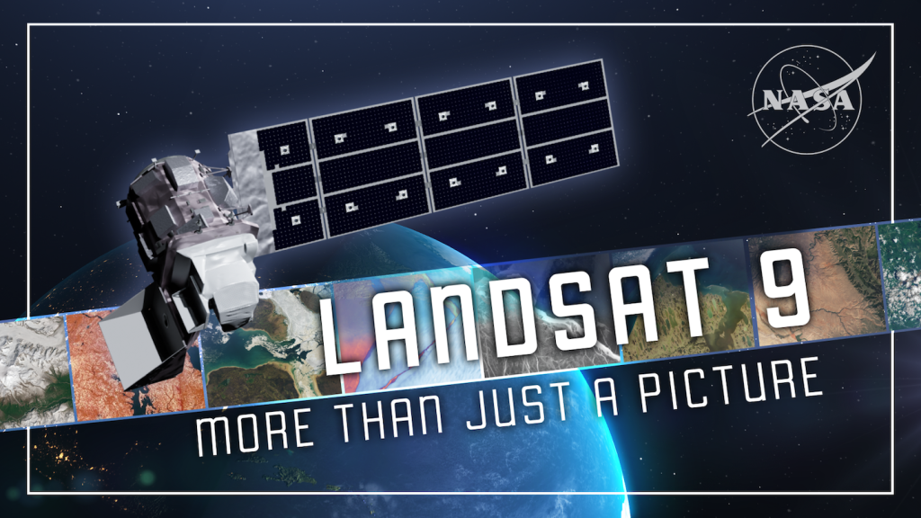
For over 50 years, the Landsat program has provided the longest continuous satellite record of Earth’s land surface from space. Landsat 9, launched in 2021, is the latest mission in this remarkable legacy.

The boreal forest—the world’s largest terrestrial biome—is warming faster than any other forest type. New research uses Landsat data to track how the forests shift.

NASA Scientist Alex Gardner highlights how Landsat made his research into the dynamics of glacial flow possible.

NASA satellites are helping Maine oyster farmers pick better sites and plan when oysters will be ready to harvest.