NASA scientists have developed an artificial intelligence tool to take on a longstanding challenge in ocean waters. In a study recently published in AGU Earth and Space Science, researchers reported the tool was able to fuse data from multiple satellites and detect harmful algal blooms that occurred in western Florida and Southern California. Severe blooms […]
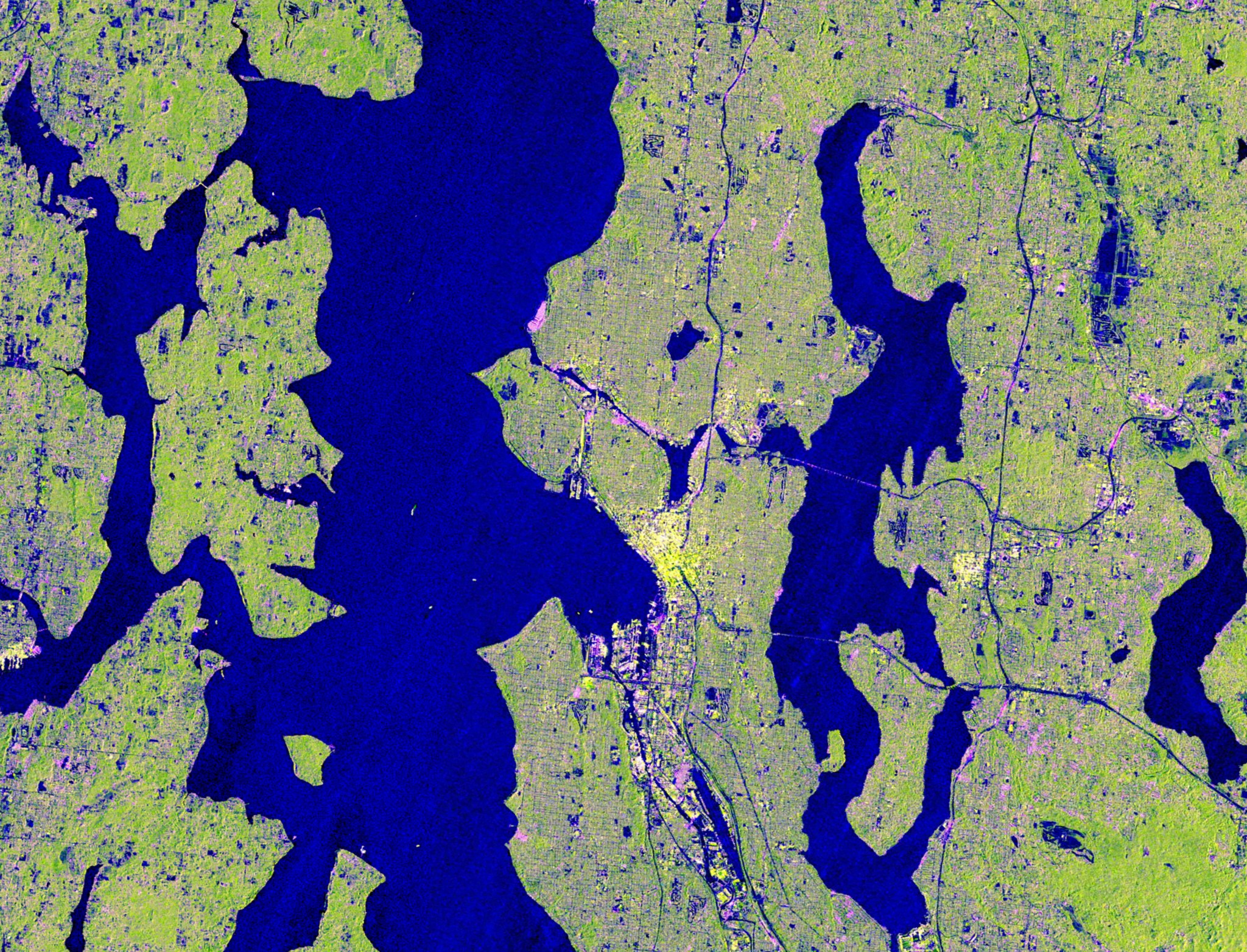
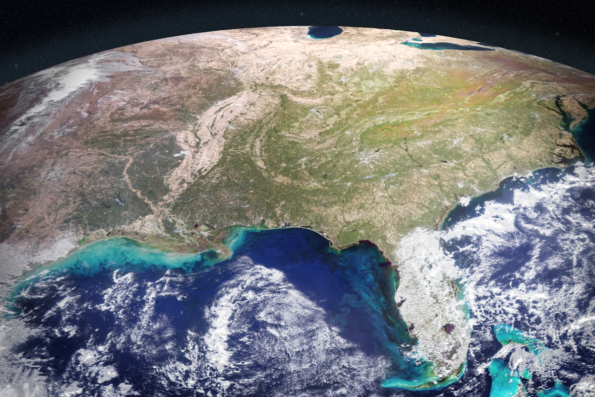
Seattle and Portland, Oregon, are among the cloudiest cities in the United States. But that infamous cloud cover is no match for the U.S.-Indian Earth satellite NISAR (NASA-ISRO Synthetic Aperture Radar), which is designed to peer straight through clouds. Doing so allows scientists to study the Pacific Northwest’s natural landmarks and bustling port cities like […]

Explore how rivers move, change, and sustain life across the planet with SWOT data.

Lake Unter-See in Antarctica, sealed beneath thick ice, contains unusually high levels of dissolved oxygen and cone-shaped microbial reefs resembling some of Earth’s oldest fossils.

A NASA luminary from the Apollo era grew up in Wales near Llanfairpwllgwyngyllgogerychwyrndrobwllllantysiliogogogoch.
Rivers rise and fall throughout the year, but by how much? Perhaps less than previously thought, according to new data from the SWOT mission. Hidden riverbed contours are also emerging. In a first, a space mission led by NASA and France has tracked Earth’s rivers swelling and shrinking from month to month over the course […]
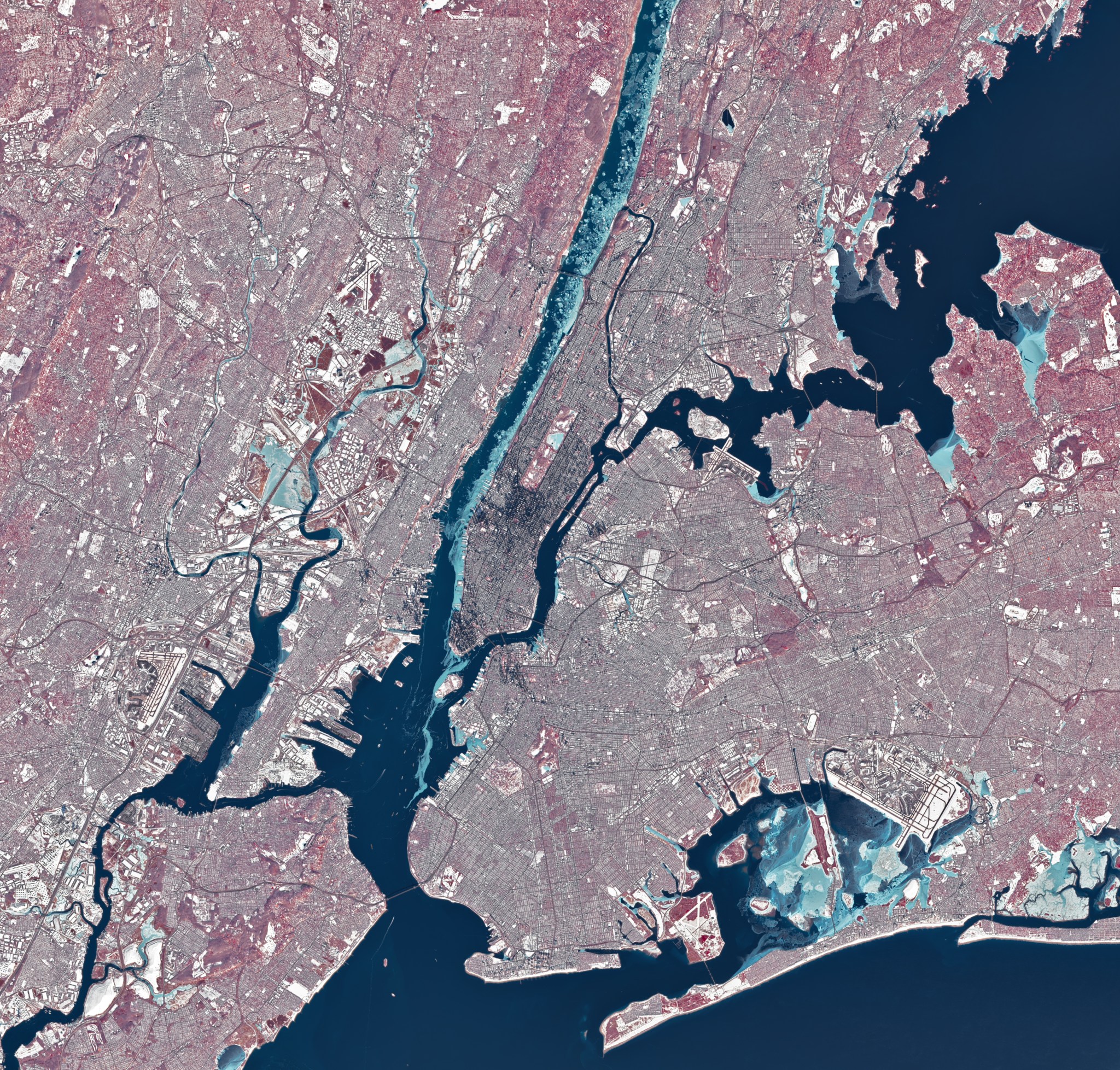
During a stretch of frigid weather in late January 2026, ice choked the Hudson River along Manhattan’s western shore. The OLI (Operational Land Imager) on Landsat 8 captured this image of the wintry landscape around midday on Jan. 28. This image uses representational color to distinguish ice (light blue) from open water and snow. Vegetation appears red. Much of […]

NASA satellites are helping Maine oyster farmers pick better sites and plan when oysters will be ready to harvest.