Most of what we know about the ocean just skims the surface, literally. We’ve gathered a large quantity of data on the oceans from satellites, but most of that is based on the top layer of water. Below that, the picture gets murkier. Buoys, ships, and …
A mild La Niña caused greater rainfall over the Amazon basin, which offset rising sea levels due to record warming of Earth’s oceans. The rise in the global mean sea level slowed in 2025 relative to the year before, an effect largely due to the La Niña conditions that persisted over most of the year. […]
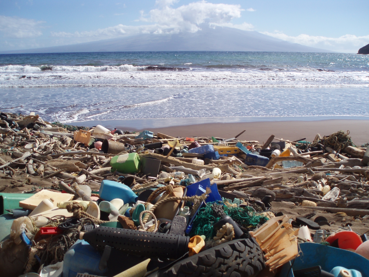
Space-based technology could help track plastic and other flotsam by its ‘fingerprints.’ In late 2025, scientists reported that, for the first time, they were able to detect concentrations of plastic pollution on land using NASA’s Earth Surface Mineral Dust Source Investigation (EMIT) sensor aboard the International Space Station. The technology has inspired marine researchers to […]

A vibrant display of phytoplankton encircled the remote New Zealand islands.

NASA satellites are helping Maine oyster farmers pick better sites and plan when oysters will be ready to harvest.
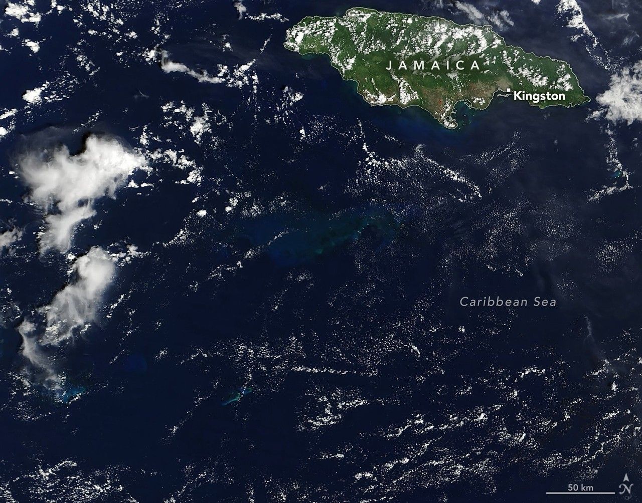
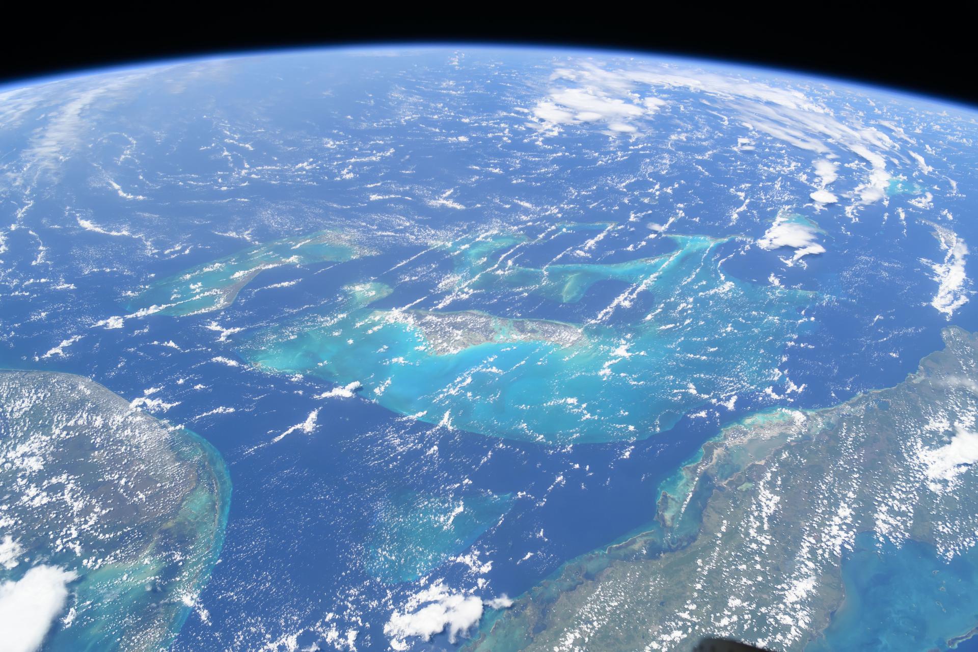
The category 5 hurricane stirred up carbonate sediment near Jamaica in what scientists believe is the largest such event in the satellite record.