.png?w=3840&h=1846&%23038;fit=clip&%23038;crop=faces%2Cfocalpoint)
Over the last decade, wildfires have worsened ground-level ozone pollution across much of the contiguous United States, creating unhealthy air far from active flames.
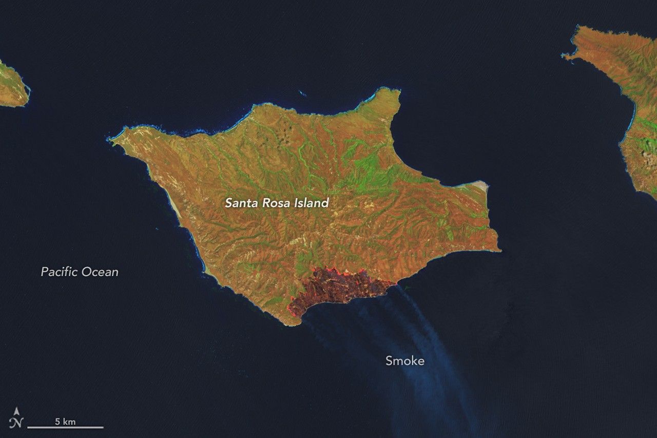
A wildland fire charred grassland, coastal sage scrub, and chaparral across one-third of the island, the second largest of the Channel Islands.
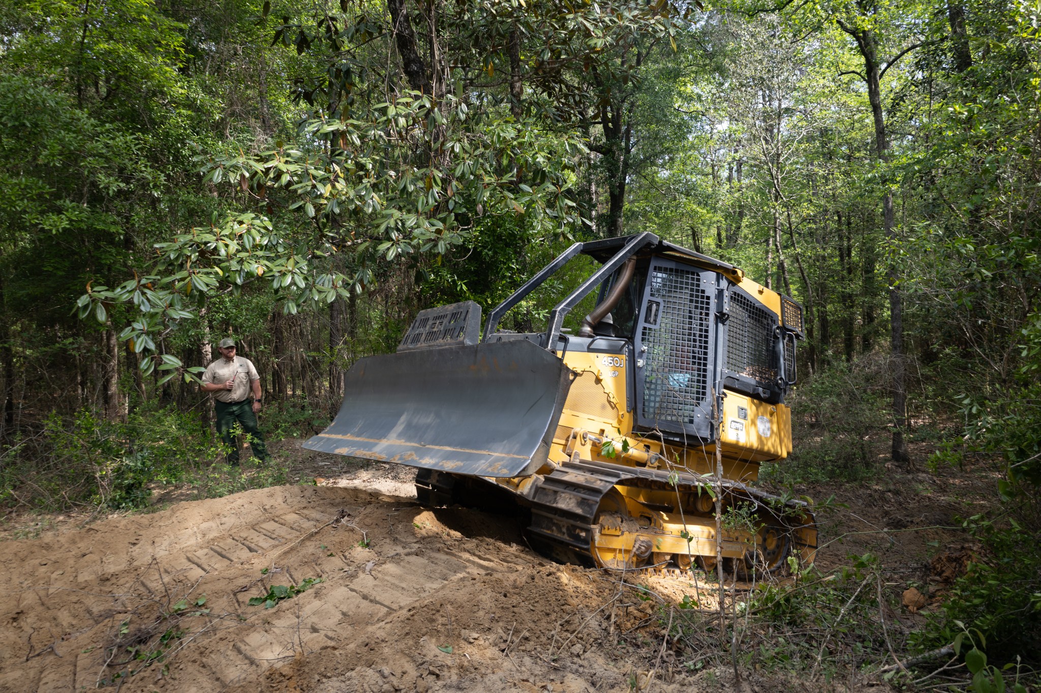
With peak wildfire season approaching, scientists with NASA’s FireSense project have created low-cost thermal sensors to install on fire bulldozers that will alert firefighters when heat from a nearby fire reaches a dangerous level. The sensors also provide researchers with important data on what happens beneath the canopy during a fire. In April, researchers and […]

Firefighters are battling two destructive blazes in the southern part of the state as drought grips the U.S. Southeast.

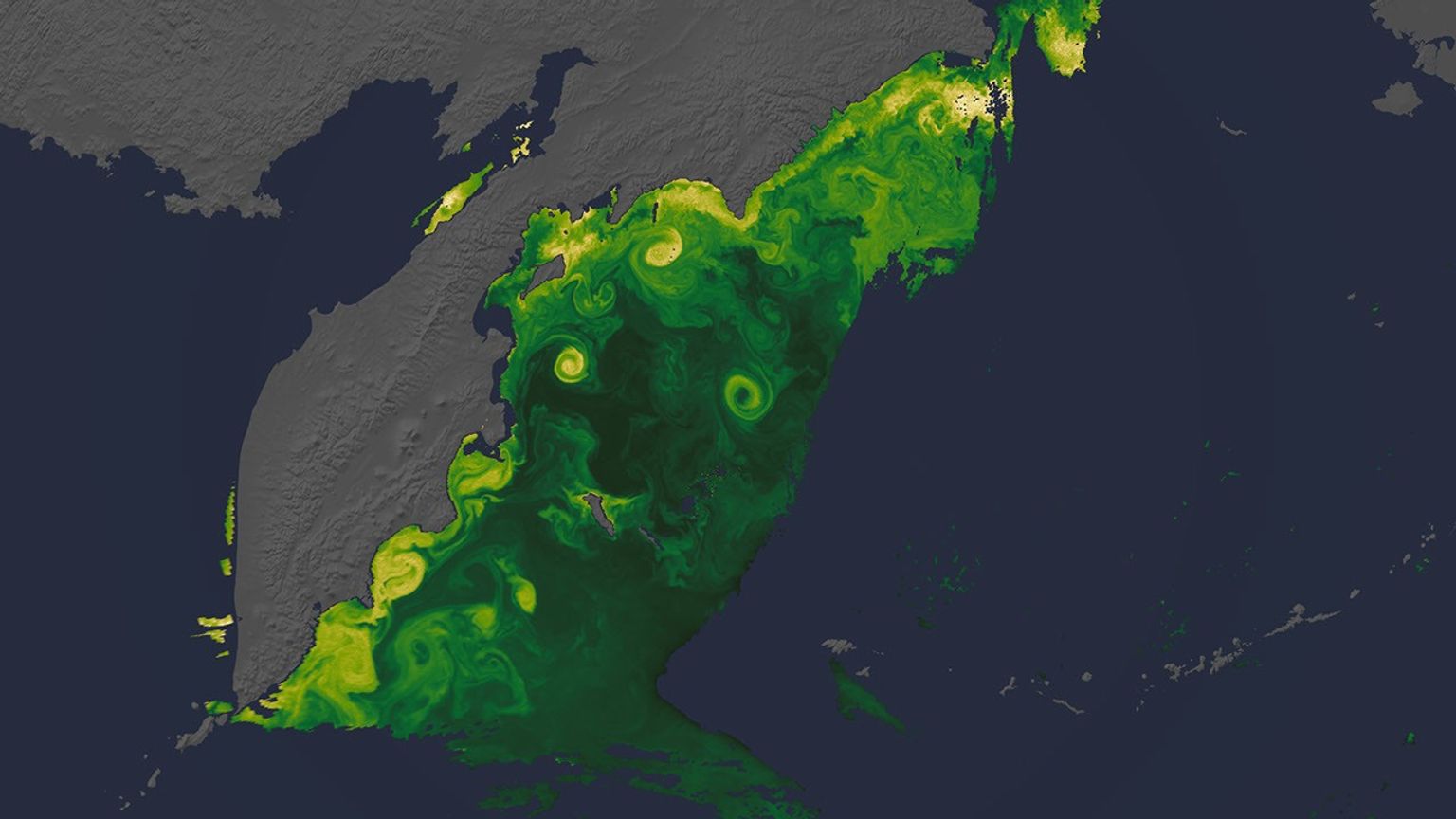
NASA has a fleet of satellites in orbit, gathering data around the clock, to explore unique views of our home planet’s ocean, atmosphere, and land surfaces.
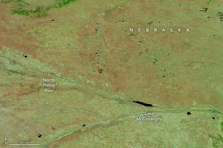
Dry, warm, and windy conditions across the U.S. Great Plains led to extreme fire activity in March 2026.

The National fire has burned tens of thousands of acres within the Florida preserve, fueled by vegetation dried by prolonged drought and killed by recent frost.

Tens of thousands of people fled to safety as blazes spread throughout the country’s Biobío and Ñuble regions.

An increasingly flammable landscape combined with more lightning strikes is leading to larger, more frequent, and more intense fires than the landscape is adapted for.